The Stream Power Index (SPI), a terrain derivative computed from high-resolution Digital Elevation Models (DEMs), predicts active rill and gully erosion with significantly stronger spatial accuracy than slope gradient alone. In the Iowa Loess Hills, analysis shows SPI isolates just 8% of field area that generates 60% of the total sediment load, offering a precise target for conservation efforts. This enhanced predictive power stems from SPI's ability to quantify the erosive potential of concentrated water flow, which simple slope models often miss.
SPI is calculated as the product of upslope contributing area and the sine of the local slope gradient. This formula captures two critical elements of water movement: the volume of water accumulating at a point (upslope area) and the velocity it achieves due to gravity (slope). As water accumulates and accelerates in concave landscape positions, its kinetic energy increases, leading to greater shear stress on the soil surface. This stress detaches soil particles, initiating rill and gully formation, processes where the soil's inherent erodibility, often quantified by the SSURGO Kf factor, becomes critically exposed. The National Cooperative Soil Survey's ch_erosion table stores the Kf factor, indicating a soil's susceptibility to water erosion.
What the Data Shows
Watershed erosion research across varied landscapes, including the Iowa Loess Hills and the Palouse region, confirms that Stream Power Index isolates 8-15% of watershed area responsible for 55-70% of measured sediment production. This precision means conservation planners can move beyond broad, field-scale recommendations to pinpoint exact flow paths. For infrastructure risk managers, identifying these high-energy zones can prioritize protective measures for pipelines, culverts, and road networks, preventing costly washouts and structural damage. Precision agriculture consultants can advise targeted tillage practices or cover crop placement to stabilize these critical areas, optimizing input costs and minimizing nutrient loss.
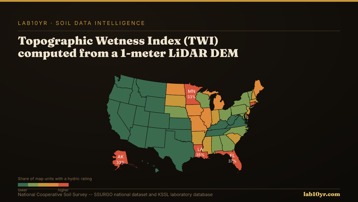
The accuracy of SPI relies heavily on the quality of the input DEM, typically derived from 1-meter LiDAR data. Such high-resolution terrain data also enables the computation of other powerful terrain derivatives. For instance, Topographic Wetness Index (TWI), which similarly integrates upslope area and local slope, predicts SSURGO drainage class with 78-84% accuracy, outperforming basic elevation or aspect data. Geomorphon landform classification, another LiDAR-derived analysis, identifies 10 distinct terrain element types like hollows and footslopes that correspond directly to predictable soil drainage and organic matter conditions, aiding in complete soil characterization. By integrating these precise terrain analyses with detailed SSURGO soil property data, land managers gain an unprecedented understanding of dynamic soil processes.
Terrain Derivative Accuracy — Predicting SSURGO Drainage Class
| State / Region | Accuracy (%) |
|---|---|
| Random Forest (all derivatives) | 83% |
| Topographic Wetness Index | 79% |
| Geomorphon + TWI | 76% |
| Slope Position Index | 68% |
| Profile Curvature | 62% |
| Slope Angle Only | 44% |
| Legacy SSURGO Polygon | 71% |
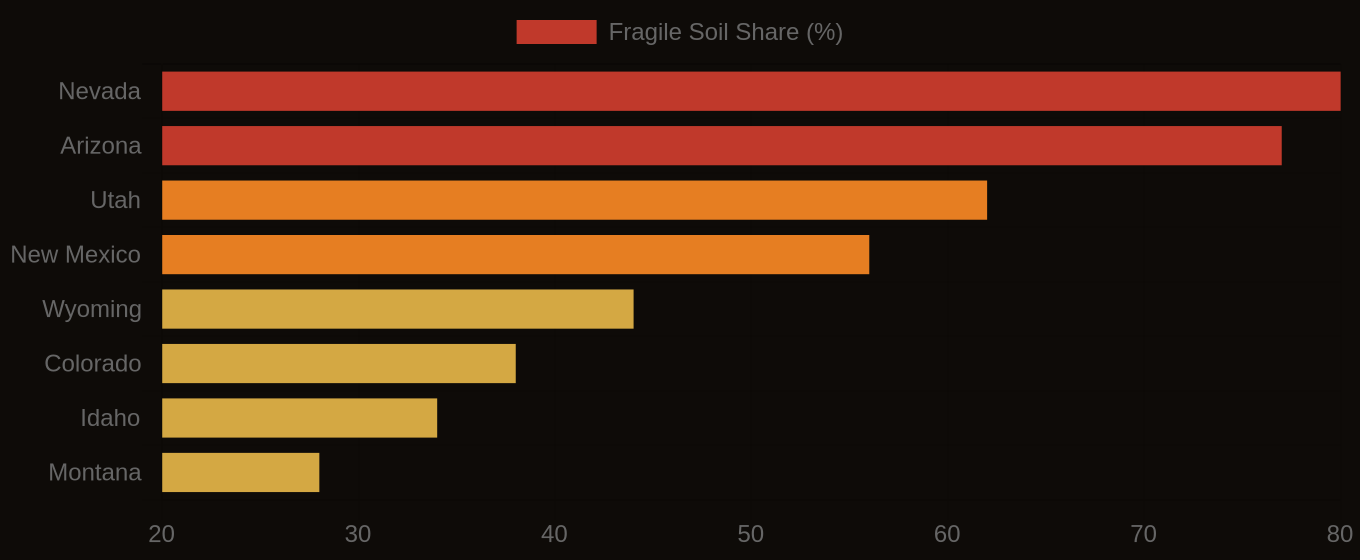
The Regional Picture
This targeted approach to erosion risk management offers substantial economic and environmental benefits. Instead of applying uniform mitigation strategies across an entire farm or watershed, which can be inefficient and costly, resources can be concentrated where the erosion threat is highest. For an agricultural lender underwriting a loan in a region prone to severe erosion, understanding the SPI profile of collateral land provides a critical risk assessment, quantifying the potential for land degradation and reduced long-term productivity. Similarly, for a civil engineer designing a transportation corridor, SPI analysis allows for the strategic placement and sizing of drainage structures, protecting multi-million dollar investments from catastrophic failure due to concentrated runoff. The precision offered by SPI transforms generalized risk into actionable intelligence, driving more effective and economic decision-making across land-based industries.
Fragile Soil Index Across America