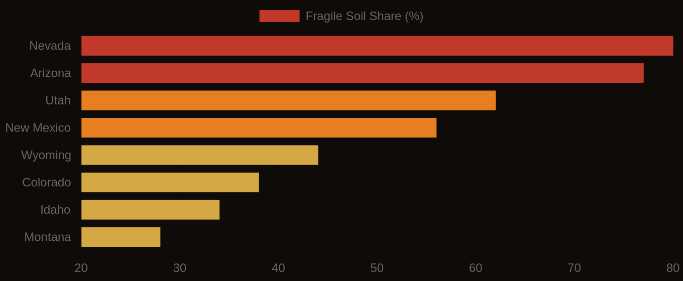
Random forest models, trained on LiDAR terrain derivatives, climate rasters, and parent material data, are predicting soil series with 72-88% accuracy in cross-validation. This represents a significant advance: in the Rocky Mountain states, these machine learning models demonstrably outperform legacy polygon maps derived from 1960s field traverses. The stakes are clear: more accurate soil maps directly improve decisions for land managers, engineers, and precision agriculture firms.
This capability stems from digital soil mapping (DSM), a process that uses computational power to infer soil properties across landscapes from a range of environmental covariates. Unlike traditional soil survey, which relies on field observations at discrete points, DSM uses algorithms like random forest to learn complex, non-linear relationships between readily available environmental data and verified soil properties. Terrain covariates, such as slope, aspect, and topographic wetness index derived from high-resolution LiDAR, provide critical insights into moisture regimes and erosional patterns. These, combined with climate data and parent material geology, serve as proxies for the five classic soil forming factors: parent material, climate, organisms, relief, and time. The models are trained against reference data from the National Cooperative Soil Survey, including SSURGO point data and detailed KSSL laboratory analyses, to predict the distribution of soil series and their characteristics across unmapped areas.
What the Data Shows
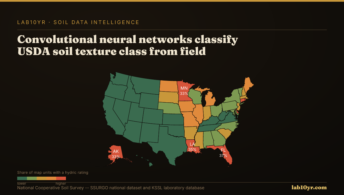
Machine learning's application in soil science extends beyond series prediction. Convolutional neural networks now classify the National Cooperative Soil Survey soil texture class from field profile photographs with 74-81% accuracy, a competitive alternative to manual field assessment. Object-based image analysis (OBIA) of high-resolution aerial imagery delineates soil surface units that match SSURGO map unit boundaries with 73-79% accuracy, capturing subtle texture and moisture contrasts. Furthermore, deep learning models trained on Sentinel-2 multispectral time series predict soil drainage class with 71% overall accuracy nationally, by recognizing how vegetation phenology responds to soil wetness. Transfer learning from ImageNet, a common computer vision technique, can reduce required training samples for soil texture classification by 60-75%, accelerating model development.
These methods transform how we characterize soil, moving from broad generalizations to spatially explicit predictions. The enhanced precision offers direct benefits for land valuation, infrastructure planning, and environmental management. For engineers specifying foundation designs or pipeline routes, more granular soil data means reduced geotechnical risk. For land managers, it means optimized nutrient application and more effective conservation planning. These computational advancements enable more consistent, data-driven interpretations of soil conditions, enhancing the value of the vast SSURGO and KSSL databases.
Terrain Derivative Accuracy — Predicting SSURGO Drainage Class
| State / Region | Accuracy (%) |
|---|---|
| Random Forest (all derivatives) | 83% |
| Topographic Wetness Index | 79% |
| Geomorphon + TWI | 76% |
| Slope Position Index | 68% |
| Profile Curvature | 62% |
| Slope Angle Only | 44% |
| Legacy SSURGO Polygon | 71% |
The Regional Picture
Fragile Soil Index Across America